
Chilean Patagonia
Hiking the W Trek in Torres del Paine
From Base Torres to Grey Glacier.
Immersed in Patagonia
It was November 2017, and Anna and I decided to head south and finally explore one of Chile’s most iconic trails—and arguably one of the most remarkable trekking experiences you can find anywhere in the world. Why? Let me explain.
If you have ever been to the Dolomites, you might think you have already seen something similar. But believe me, Patagonia feels entirely different—and it will not disappoint.
Patagonia is not defined by a single view. It has many different angles that set it apart from the Alps, and its character goes far beyond granite peaks alone. It is the combination of wilderness, culture, scale and atmosphere that makes the region so powerful.
You find it in the gaucho culture, the local communities, the pumas, guanacos and other wildlife, the vast open pampas, and the turquoise glacial lakes framed by stunning mountain landscapes. This is a place that can completely captivate you.
The Mission
Hike the iconic W Trek in Torres del Paine National Park.
Details of our trek:
Length: 80 kilometres / 50 miles in total
Elevation gain: 2,200 metres / 7,200 feet
Hiking days: 4
Accommodation: Campsites beside the refugios
Season: Late spring (November)
Our plan was to follow the classic W Trek clockwise, entering through the eastern side of the park to hike Mirador Base Torres first, and finishing at Paine Grande before crossing Lake Pehoé by catamaran to Pudeto on the western side of the park.
Depending on the route, pace and type of experience you choose, the trek can range from moderately challenging to physically demanding. The long hiking days, changing weather and accumulated elevation can leave you exhausted, especially when carrying your own equipment.
Day 1
Santiago to Punta Arenas
- Flight:
3.5 hours - Airport Shuttle:
30 minutes
We started our trip from Santiago de Chile with an early LATAM flight directly to Punta Arenas. Once in Punta Arenas, we grabbed a taxi that drove us 25-30 minutes to our hotel, right in the main square in the city centre.
In the city of Punta Arenas, there are different tourist attractions, such as the main square, the old architecture of the city centre, the cemetery, the Costanera, outdoor stores, handicraft markets, and, of course, some classic foods, such as the “chorizo sandwich” and “leche de plátano” (Banana Milk) at Kiosko Roca Punta Arenas.
Note: At that time, Puerto Natales Airport was not available. Therefore, we took the Punta Arenas route, which is also very common, as it includes different highlights that are missed when flying directly to Puerto Natales. Punta Arenas also works for Antarctic expeditions, journeys through the fjords and channels of the Strait of Magellan, and the famous penguin-watching excursions to Magdalena Island. It is a true sailing paradise.
Day 2
Punta Arenas to Puerto Natales
- Bus journey:
3 hours - Distance:
247 km / 154 mi
From Punta Arenas, we took an early bus to Puerto Natales, giving us enough time to explore the town, visit a few local stores, walk along the Costanera overlooking Last Hope Sound (Seno Última Esperanza), and purchase the final supplies for the trek.
The W Trek is usually completed over four to five days and, as we were vegetarian at the time, we preferred to bring most of our own meals and snacks for the hiking days. However, note that the refugios also offer great food and box lunches to go, including meat and vegetarian options.
We also needed to pick up a few final pieces of hiking equipment and gas for our stove before entering the national park. Puerto Natales is the last place where you can find most of the things you might need for the trek.
We ended the day with dinner at Mesita Grande, a small pizza restaurant located just off the main square, before heading back to our hotel.
Day 3
Torres del Paine National Park
- Bus journey:
2 hours - Distance:
115 km / 71 mi
We took a transfer from Puerto Natales that drove us directly into Torres del Paine National Park. We entered through the eastern side of the park, where we completed the check-in process, collected our park tickets and continued to the Welcome Center, located next to our hotel.
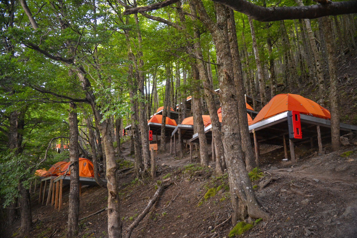
Once inside the park, we began by spending two nights at EcoCamp Patagonia, in the Torre Central area, before continuing along the circuit and staying in tents at the campsites beside each refugio.
Our plan was to begin with the most iconic scenery of the trek: Mirador Base Torres. Many hikers prefer to leave this hike for the final day. However, it is also one of the most demanding day hikes on the W Trek, so starting with it while your energy levels are still at their highest can also be a good strategy.
On our first day in the park, after arriving at EcoCamp, we joined a fam tour to meet the staff, learn more about the hotel and the surrounding area, and visit the Yoga Dome, where we joined a great session. We then enjoyed an incredible dinner with other guests and went to bed early, ready for the hike the following morning.
Day 4
Base Torres
- Hike Length:
21 km / 13 miles - Elevation Gain:
1,023 metres / 3,356 feet
And finally, the hike began!
EcoCamp Patagonia is located very close to the beginning of the trail, allowing us to start walking directly without needing an additional transfer. This is a big advantage of sleeping in the area the night before—and, if possible, also on the night after the hike. It makes the entire experience much more relaxed.
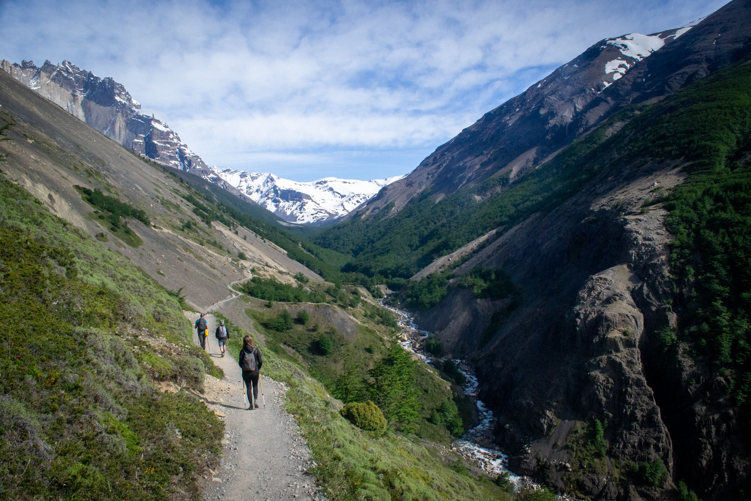
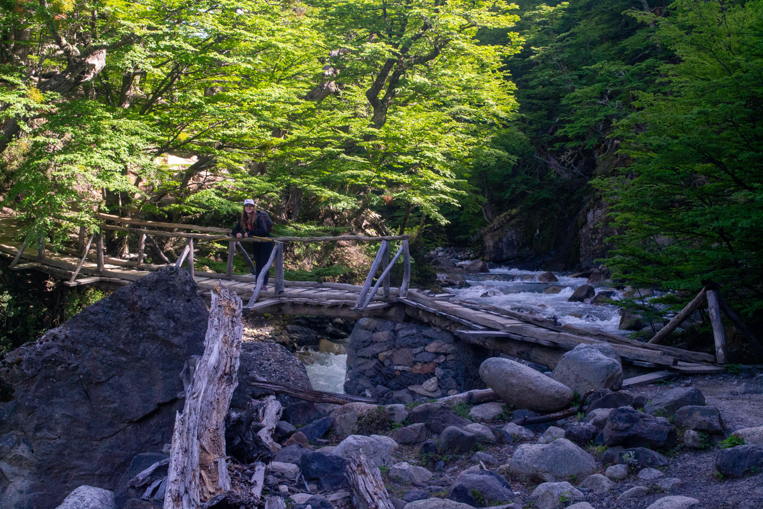
The return hike to Mirador Base Torres usually takes around eight hours to complete—approximately four to five hours on the way up and three to four hours back down. The route is physically demanding at certain points; however, the entire trail is not continuously difficult. Several sections are relatively gentle, particularly through the valley and forest, while the most challenging part comes during the final ascent across the rocky moraine leading to the viewpoint.
This is not a technical hike, but basic to moderate hiking experience is helpful. Proper footwear, suitable clothing and a good level of physical fitness are still essential. Weather conditions can change quickly, and the long distance should not be underestimated.
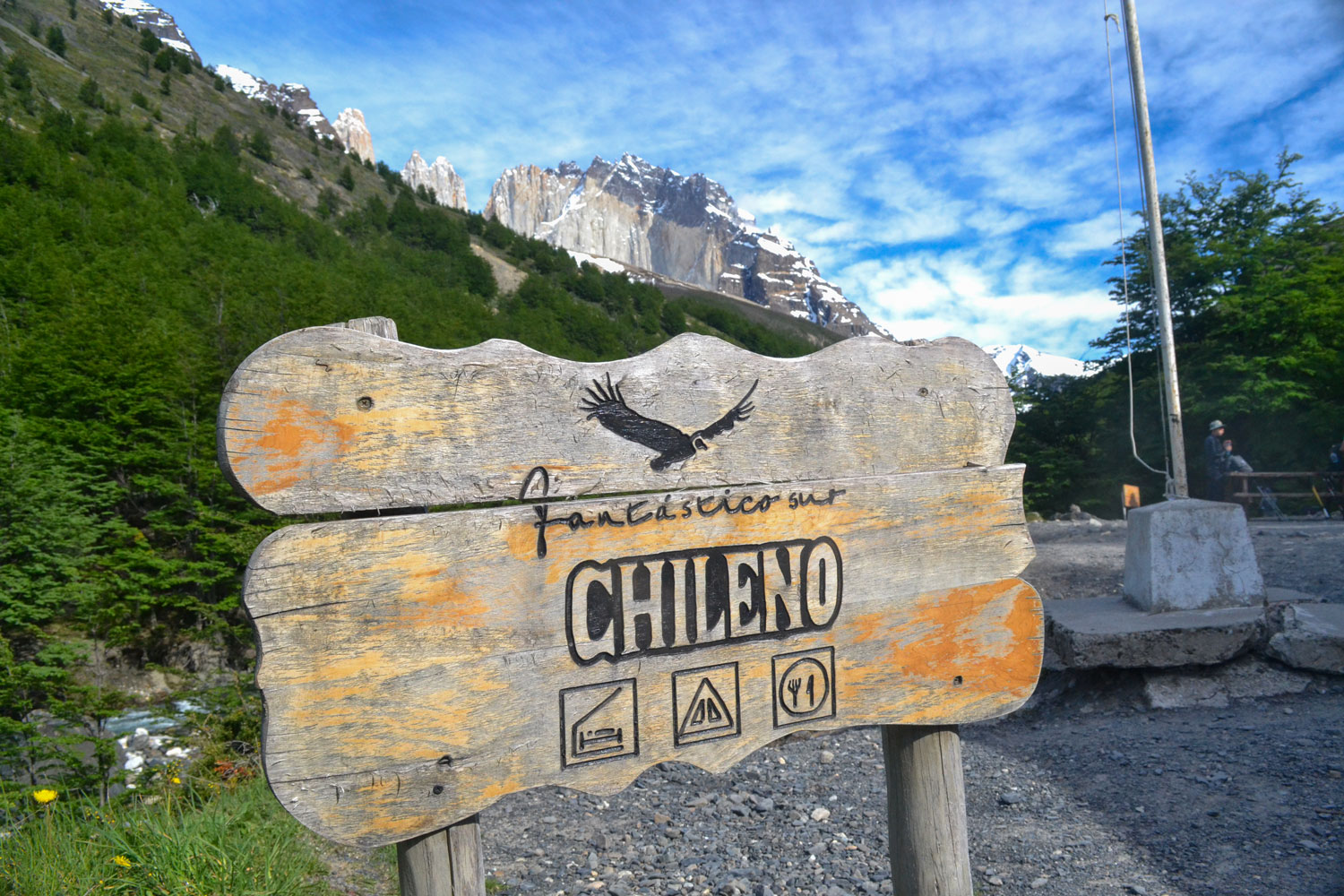
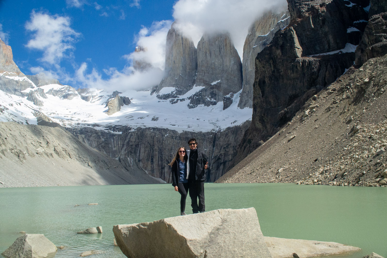
We completed the hike in approximately eight hours. We first made a quick stop at Refugio El Chileno and, once we reached the Base Torres viewpoint, we stopped for lunch beside the glacial lagoon, with an incredible view of the three granite towers: Torre Central, Torre Monzino and Torre d’Agostini.
Staying in the Torre Central area on the same night as the hike improves the experience, as you have plenty of time and do not need to rush back for a transfer. However, if you decide to return to Puerto Natales or continue somewhere else, you can still finish relatively early. If I remember correctly, we arrived back at the hotel at around 16:00–17:00, after starting the hike between 08:30 and 09:00.
Day 5
Torre Central to Refugio Francés
- Hike Length:
23 km / 14 mi - Elevation Gain:
200 m / 660 ft
On our second day of hiking, we left EcoCamp and headed toward Refugio Francés. The trail was relatively steady, without too many steep sections, but this was the first day we had to carry our fully loaded backpacks, weighing around 14–17 kilograms / 31–37 pounds each. I had rarely felt more like a soldier. Haha.
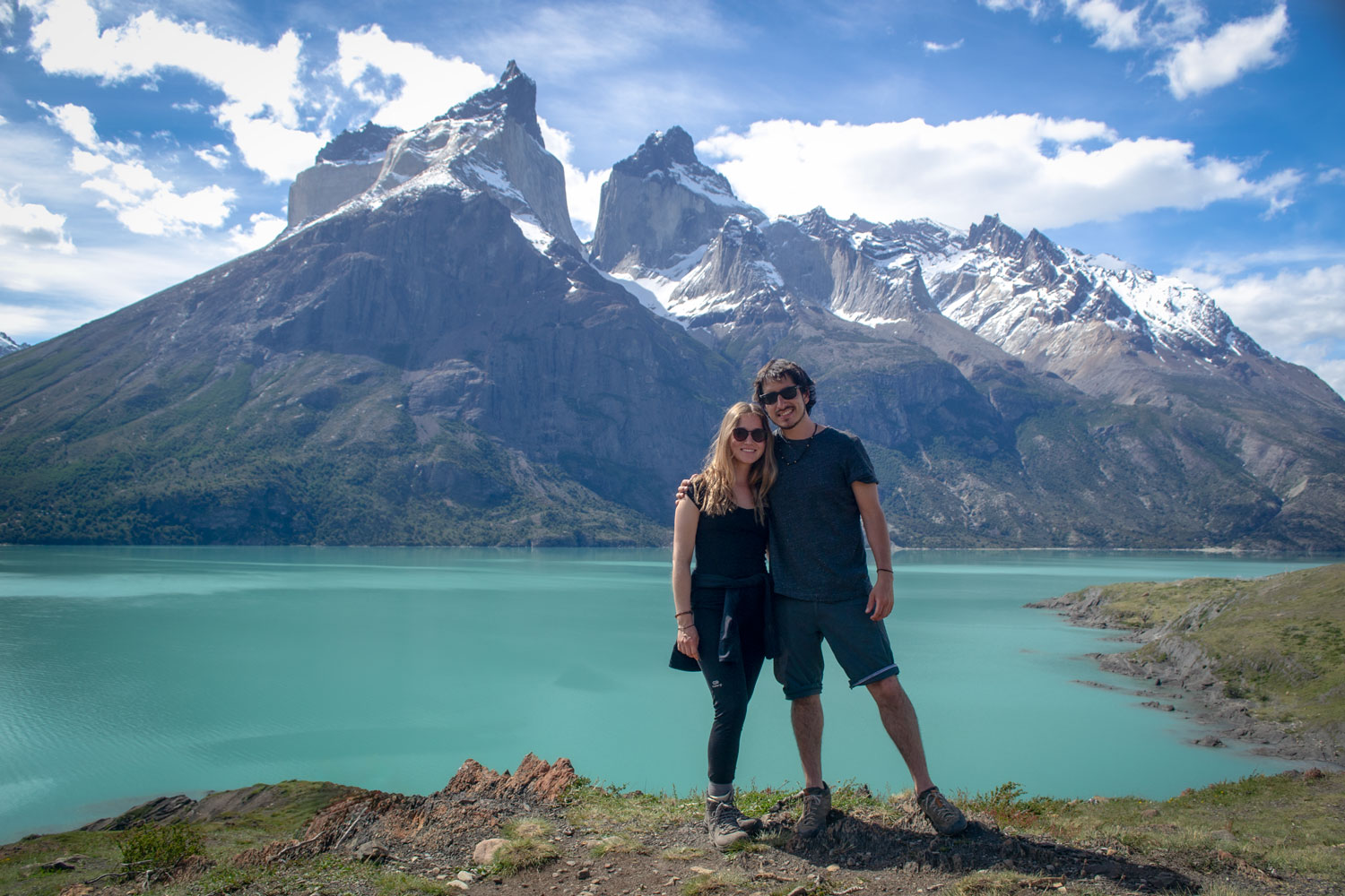
I really enjoyed this section of the trail. For much of the day, we walked beneath the imposing Cuernos del Paine massif, with wide views across the turquoise waters of Lake Nordenskjöld.
After around six to seven hours of hiking, we finally reached the Francés campsite. Before getting there, you first pass Refugio Los Cuernos, which gives you the false impression that you have already reached your destination. In reality, you still need to continue for another 30–45 minutes to reach Refugio Francés.
We had rented a tent that was already set up at the campsite—and very clean, I must say—while carrying our own sleeping bags and personal equipment. That evening, we prepared dinner in the cooking area beside the campsite and celebrated the end of the day with a tiny glass of wine.
Day 6
French Valley and Mirador Británico
- Hike Length:
21 km / 13 mi - Elevation Gain:
850 m / 2,790 ft
After breakfast at the Francés campsite, we grabbed our fully loaded backpacks and returned to the trail, heading west.
The first section was a relatively short hike of around 2 kilometres / 1.2 miles to Campamento Italiano, a former CONAF campsite located at the foot of the French Valley. Today, Campamento Italiano functions as a ranger station and rest stop. It is also common practice for hikers to leave their larger backpacks in the designated storage area before heading into the valley with only a lightweight daypack.
From Campamento Italiano, the trail begins climbing steadily north through the forest toward Mirador Francés. The ascent is steep and becomes increasingly rocky. After around 1.5 to 2 hours, we reached the first viewpoint, where the landscape opens toward the Francés Glacier, hanging high on the eastern face of Paine Grande.
This is one of the most impressive mountain scenes on the W Trek, in my opinion. From the viewpoint, you can see the hanging glacier suspended above the valley and often hear the deep cracking of the ice. Small avalanches regularly descend across the distant mountainside—very fun to watch, and safely separated from the trail by the valley below.
Depending on your fitness, the weather and the trail’s closing time, you can turn around at Mirador Francés or continue deeper into the valley toward Mirador Británico. We decided to continue.
The trail climbs for another two hours, passing through lenga forest and increasingly rocky terrain. Some sections of the forest appear almost ghostlike, with pale, weather-beaten trunks shaped by Patagonia’s harsh conditions.
At approximately 750 metres / 2,460 feet above sea level, Mirador Británico offers a completely different perspective from Mirador Francés. Rather than looking primarily toward the glacier, you stand near the head of the valley, surrounded by an amphitheatre of granite peaks. The viewpoint offers panoramic views of formations such as La Hoja, La Espada, La Máscara, Fortaleza and Aleta de Tiburón. Both viewpoints are exceptional places for photography, but Británico gives you the strongest sense of being completely enclosed by the mountains.
We then headed back to Campamento Italiano, collected our larger backpacks and continued west toward Paine Grande. Shortly after leaving the ranger station, the trail crosses the Francés River by a small suspension bridge before continuing through the forests and along the shores of Lake Skottsberg. This section offers some of the best postcard-like scenery of the entire trek.
The final section to Paine Grande is considerably easier than the climb into the French Valley, although it still feels long after the morning’s ascent. By the time we reached Paine Grande, we had completed approximately 20–21 kilometres / 12.4–13 miles, with around 750–850 metres / 2,460–2,790 feet of accumulated elevation gain.
Together with Torre Central, Paine Grande is one of the W Trek’s largest and best-connected refugios, and this is where we decided to spend two nights, allowing us to complete the final section of the W with only a light backpack. With its large facilities, cafeteria, small shop, equipment rentals and direct access to the Lake Pehoé catamaran, it felt almost luxurious after such a demanding day in the mountains.
Day 7
Grey Glacier Hike
- Hike Length:
22 km / 13.7 mi - Elevation Gain:
650 m / 2,130 ft
This is a more relaxed hike, although by this point we were already feeling some fatigue from the previous days. Anna, in particular, had that uncomfortable feeling of her toes being smashed inside her hiking shoes, so you should never underestimate the final day of the trek.
After breakfast, we left Refugio Paine Grande and headed toward Refugio Grey. The trail follows the eastern shore of Grey Lake, which remains visible during much of the hike and makes the route relatively easy to follow. It is not an especially steep trail, and the distance from Paine Grande to Refugio Grey is approximately 11 kilometres / 6.8 miles each way.
Along the way, the marked trail crosses small streams, lagoons and sections of Patagonian forest, including Laguna Los Patos. You also get impressive views of Grey Glacier, first from a distance and then gradually closer as you continue north.
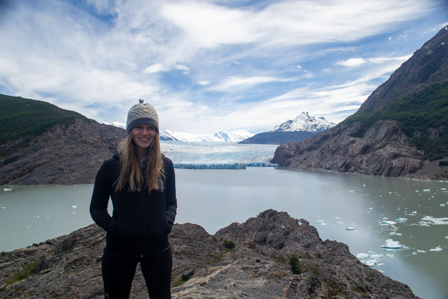
After a few hours, we reached Refugio Grey, where it is possible to buy supplies, rest and have lunch. From there, you can walk a little farther to a rocky viewpoint overlooking the lake, the nearby islands and Grey Glacier.
Grey Glacier extends for approximately 28 kilometres / 17 miles and is one of the main outlet glaciers of the Southern Patagonian Ice Field. Hikers completing the O Circuit get an even more impressive view from above, but from the viewpoints near Refugio Grey, you can still appreciate its enormous scale.
If you still have some energy left, you can continue toward the suspension bridges that connect this section with the trail coming down from John Gardner Pass. We decided to walk a little farther and reached the first bridge. It is important to remain attentive, as hikers completing the O Circuit may approach from the opposite direction, although they are normally easy to spot.
Anna and I stopped there for a while to enjoy the different panoramic views before returning to Paine Grande, where we finally—and officially—completed the W Trek. To be fair, the day sounds easier than it actually felt, and during the final few hundred metres, our legs and feet were clearly reminding us how much we had already walked over the previous days.
Day 8
Paine Grande, Pudeto and Puerto Natales
- Hike Length:
6 km / 3.7 mi - Elevation Gain:
120 m / 395 ft
The W Trek was over, but there was still one surprisingly beautiful adventure ahead. On our final day in the park, we took the earliest Lake Pehoé catamaran from Refugio Paine Grande to Pudeto, crossing the turquoise waters of Lake Pehoé one last time.
Pudeto is a small sector with a café, pier and parking area for buses and cars. It also provides access to one of the nicest spots in Torres del Paine. From there, you can quickly walk to Salto Grande, a powerful 15-metre / 49-foot waterfall formed where the waters of Lake Nordenskjöld flow through the Paine River toward Lake Pehoé.
Salto Grande is already a beautiful highlight on its own, but it can easily be combined with the short hike to Mirador Cuernos. This is a relatively easy and undemanding trail that takes around 1.5–2 hours and leads to what is possibly one of the best panoramic views in the park, overlooking Lake Nordenskjöld, the French Valley and the Cuernos del Paine.
We were lucky that there were not many people on the trail that day, so the landscape felt particularly private and remote. It was a great final day, with a simple and scenic hike to close our visit to Torres del Paine.
Once in Puerto Natales, we connected directly with another bus to Punta Arenas, arriving at approximately 19:00-20:00. This gave us enough time to go out for dinner and arrange a taxi to take us directly to the airport the following morning for our flight back to Santiago.
The connections were quite tight and required careful coordination. Being local and familiar with travelling in Chile probably gave us the confidence to organize the journey this way, but everything worked out and brought our Patagonia adventure to a perfect close.
FAQ